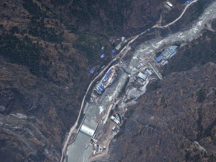
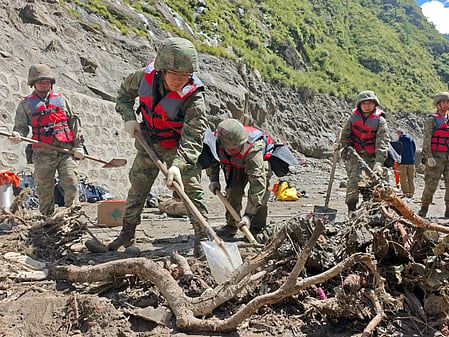
Aerial footage reveals catastrophic destruction in Nepal's Nuwakot district five days after glacial collapse floods
New aerial views show buildings, roads and infrastructure along the Trishuli River buried under mud and debris following the August 26 glacier collapse that killed at least 750 people across Nepal and Tibet.
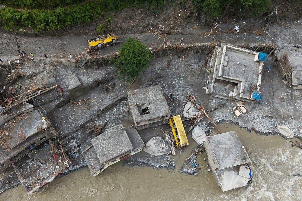
Aerial footage reveals catastrophic destruction in Nepal's Nuwakot district five days after glacial collapse floods
Aerial footage captured five days after catastrophic flash floods swept through Nepal and Tibet reveals the massive scale of destruction across Nuwakot district, where entire communities remain buried beneath thick layers of mud and debris.
The disaster began at approximately 8:37 a.m. Nepal time on August 26, 2026, when a glacier collapsed near Langtang Lirung mountain, registering a magnitude 5.2 seismic event detected by seismometers worldwide. The collapse temporarily blocked the Lhende Khola River, causing a large lake to build before breaking through and unleashing torrents of water, ice and debris through settlements along the Nepal-China border.
Water levels on the Trishuli River rose by as much as 9 meters over just half an hour during the flash flood, according to the International Centre for Integrated Mountain Development. Buildings, roads and other infrastructure along the river, which is formed by the confluence of the Kyirong Tsangpo and Lende Khola rivers near the Nepal-Tibet border, remain submerged under debris.
Death toll and missing persons
As of Sunday, authorities reported at least 750 deaths across Nepal and Tibet, with 3,044 people still missing. In Nepal alone, 734 deaths and 2,498 missing people have been confirmed. More than 7,500 individuals have been rescued from affected areas.
Nuwakot district, which covers 1,121 square kilometers and had a population of 277,471 people according to the 2011 census, has been particularly hard hit. The district's communities along the Trishuli River valley, which historically served as the main trade and transit corridor between the Kathmandu Valley and Tibet, have suffered severe damage.
Impact on infrastructure and economy
Nearly 900 Nepali workers employed on hydropower projects along the river are among those missing, according to Nepal's Independent Power Producers' Association. The disaster also completely destroyed the Gyirong Port complex on the China-Nepal border, the major gateway for trade and tourism between the two countries, including pilgrimages to Mount Kailash.
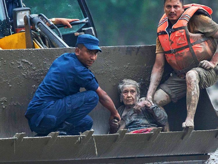
Rescue teams continue searching through mud and damaged structures, but operations remain hampered by bad weather, rising river levels and blocked roads. The challenging conditions have slowed efforts to reach communities cut off by the flooding.
History of glacial flooding in the region
This disaster follows a similar flash flood in the region in July 2025, when a glacial lake in Tibet overflowed, killing nine people and damaging the bridge connecting Nepal and China. Nepal has experienced more than 90 glacial lake outburst floods since the early 1920s, with 26 such events occurring since the 1970s.
The Hindu Kush Himalaya region contains more than 25,000 glacial lakes, and glacier ice-loss rates across the region have roughly doubled since 2000, according to the International Centre for Integrated Mountain Development.